Get Remote ID Compliant

Whether flying for recreation, business, or public safety, remote id is now in full force. Want to be sure you are compliant with the rule on Remote ID.

Important! Before You Get Started:

  • Ensure your device has an FAA-approved Remote ID Declaration of Compliance
  • Have your Remote ID serial number handy. If you are not sure how to locate it, please check with the manufacturer for assistance.
  • If you previously listed a drone and answered “No” to the Remote ID question, you will now create a new listing for that same drone.
  • Recreational Flyers Registration

Recreational flyers will need to add each Standard Remote ID drone and/or the Remote ID broadcast module to their inventory, then if applicable, remove the drone not equipped with Standard Remote ID that it replaces.

Log in to FAADroneZone

  • Click on the button labeled “Launch Drone Owners and Pilots Dashboard”
  • Be sure you are on the Recreational Flyer Dashboard
  • Click on “Manage Device Inventory”
  • Click on “Add Device”
  • Answer the Remote ID question “Yes”
  • Choose the device type from the drop down menu (Remote ID broadcast module or Standard Remote ID drone):
  • If using one broadcast module on multiple drones not equipped with Standard Remote ID, select broadcast module for each and input the particular drone(s) make/model while using the same Remote ID serial number from the module in the following step.
  • Enter the Remote ID serial number (NOTE: this number may be on either the device or the controller)
  • Click on “Add Device”
  • Return to “Your Inventory”
  • If you’d like to cancel the previously registered drone not equipped with Standard Remote ID
  • While in your inventory, click on the three vertical dots associated with the drone under the “Actions” column and select “Cancel” from the drop down menu
  • Note: a canceled device will remain in your inventory as “cancelled”

Part 107 – Editing an Existing Registration

  • Log in to FAADroneZone
  • Click on the button labeled “Launch Drone Owners and Pilots Dashboard”
  • Make sure you are on the Part 107 Dashboard
  • Click on "Manage Device Inventory"
  • Click on the three vertical dots associated with the drone in the “Actions” column and select “Edit” from the drop down menu
  • Edit the answer to the Remote ID question to “Yes”
  • Enter the Remote ID serial number from either the updated Standard Remote ID drone or the Remote ID broadcast module: (NOTE: this number may be listed on either the device or the controller)
  • Click on “Save”

Part 107 - Registering a New Device

  • Log in to FAADroneZone
  • Click on the button labeled “Launch Drone Owners and Pilots Dashboard”
  • Make sure you are on the Part 107 Dashboard
  • Click on "Manage Device Inventory"
  • Click on “Add Device”
  • Answer the Remote ID question “Yes”
  • Choose the device type from the drop down menu (Remote ID broadcast module or Standard Remote ID drone):
  • If using a broadcast module, list the drones make/model while adding the broadcast modules Remote ID serial number in the following step.
  • Enter the Remote ID serial number (NOTE: this number may be listed on either the device or the controller)
  • Click on “Add Device”
  • Continue on with the registration process.

Why Hire a Pro – Claims Data Uncovers most Common Risks with Drone Operations

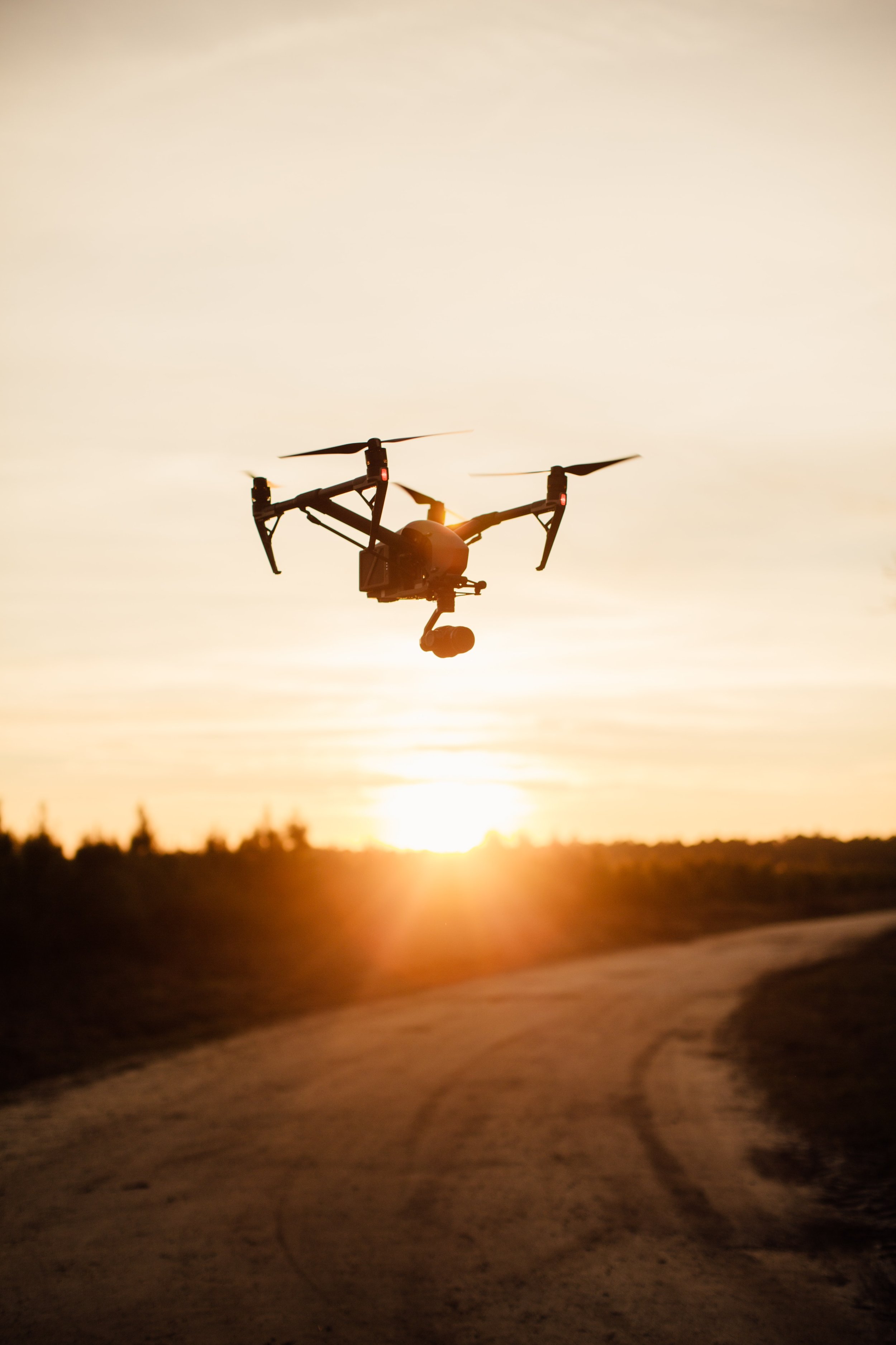
inspire 2 drone

Understanding some of the most common pitfalls associated with drone operations reveal the inportance of hiring a piolet with a proven track record.

Taking a deep dive into claims data to enhance threat operation, we have collect a list of utmost frequent reasons that led to claims:

  1. Pilot Error
  2. Accidental Damage
  3. Loss of Data Link
  4. Fly Away
  5. Accidental Loss
  6. Mechanical Failure
  7. Bird Strike
  8. Loss of Power
  9. Weather
  10. Theft from a Vehicle

Confined-space Inspection - made more accessible

drone inspecting tunnel

Confined-space inspection is now more accessible with an affordable new product, Lumicopter. This might just make our self engineered rig unnecessary.

Combining the DJI FPV drone with a custom-made protective shell and LED light, Lumicopter has been designed to fly in enclosed or hazardous facilities such as storage tanks, building interiors, powerplants, ships, etc.

While the drone camera is capable of capturing crystal clear videos of up to 4K 60 fps, a 4,000 lumens LED system makes the Lumicopter ready for low-light indoor inspections as well. The solution, which can be deployed quickly without any complex installation, can roll around tight corners, detect damage, and send a live video feed to the controlling tablet to reduce the safety risk for workers.

Additional features include a controllable single-axis camera tilt of up to 108°, reducing the need for drone maneuvering during the inspection. The solution leverages a downward vision sensor for altitude position hold and better flying stability. The makers promise signal penetration of up to three floors in a concrete stairwell (no line of sight), while safety feature such as a forward distance sensor for obstacle avoidance is also available.

Comment on the proposed FAA rules up this week

Before the proposed Federal Aviation Administration (FAA) rules come into effect there is a timeframe in which you can submit your comments. As of now, fewer than 100 comments have been received about flight at night and over people. The FAA actually pays attention to your input and takes it into consideration when making the final rules.

You can submit your comments on:

  1. proposed new rules to allow professionals to routinely fly drones at night and over people

  2. how to safely prepare for Unmanned Traffic Management (UTM), implement payload restrictions and enable flight beyond visual line of sight.

Comment on Operating over People and at Night

Comment on Performance Restrictions

So, take a minute or two and check out these links below and submit your comments for the FAA to consider. The deadline is Monday, April 15th.

9 Ways Drones are Disrupting Agriculture

There’s a lot more to farming than just planting seeds, watering them and picking them once they’ve grown. And with the widespread adoption of drones, agriculture is getting even more precise and efficient.

agriculture-drone.jpeg

1. Fighting Crop Diseases

Drones can be used for multispectral imaging, outfitted with crop health sensors that run NDVI (normalized difference vegetation index). Aerial NDVI sensors aren’t totally new — they used to be outfitted to manned airplanes — but with drones, they are quicker and cheaper.

2. Fertilizer

NDVI is used for more than just analyzing diseases. NDVI images may be able to prescribe fertilizer applications, estimate yields and identify weeds. (NDVI is an important graphical indicator for farmers to analyze remote sensing measurements and assess whether the land contains live green vegetation or not.)

3. NIR Sensors

Similar to NDVI, near-infrared sensors can determine plant health based on light absorption.

4. Pollination

Drone companies such as Bee Innovative have been tracking honeybees in real time for precision pollination. Bee Innovative claims that its “BeeDar” solution has already delivered 20 percent increases in crop yields and returns for farmers season to season. And California-based agriculture technology startup DropCopter allows farmers to pollinate orchards via drones.

5. Food Security

Whether it’s generating more vegetables, fruits or even coffee beans, drones are able to maximize crop yields. There’s no better example of that than the work being done by Lyela Mutisya, who is using drones to help her father’s coffee farm in Kenya. She said many Kenya farms can’t afford fertilizer (a well-managed coffee farm can produce up to 30 pounds of coffee per tree, but a coffee farm that can’t afford fertilizer produces more like 5 pounds of coffee per tree). Drone technology is effective at collecting data to help coffee farmers improve crop health. They can have a role in efficient crop scouting, earlier yield predictions, earlier crop stress detection, enhanced irrigation management and control, and more precise nutrient and chemical applications.

6. Pesticides

And on that note, pest and decision control is very important in coffee farming, as well as all other types of agriculture. Pests can cause an 80% loss in coffee trees. That alone can significantly hurt a coffee farm. If a tree were to get infected and lose 80% of their crop, a drone can help prevent that.

7. Herbicides

In fact, DJI launched its own crop spraying drone back in November 2015.

8. Thermal Cameras

In December 2015, DJI announced a collaboration with Flir Systems Inc., an Oregon-based sensor manufacturer that focuses on thermal imaging. In agriculture, farmers use thermal imaging as they fly over fields to indicate dry spots, over-watering, crop height or pesticide use.

9. Planting Seeds

Companies such as DroneSeed are building drones that can blast fertilizer and seeds into the ground at 350 feet per second. DroneSeed says its solution is good for the environment, worker safety and investors. DroneSeed’s drones currently have a flight time of about 30 minutes; after changing batteries, the drones can cover an acre within 1.5 hours.

View the full article by drone girl here

Getting Started on Drone Photography

Drones have taken the photography industry by storm and have created a new type of photography that is sought out for a variety of purposes.

Drones come in a range of sizes, have different features and components, and prices for drones vary greatly. If you’re like thousands of other photographers out there and want to jump into the drone phography and videography, then there are a few things to know and to consider before purchasing and launching your new tool into the air.

Here is a Great Article to Get you Going!

1-inch CMOS Hasselblad Camera on the Mavic Pro II

m6mou8u6yoc11.jpg

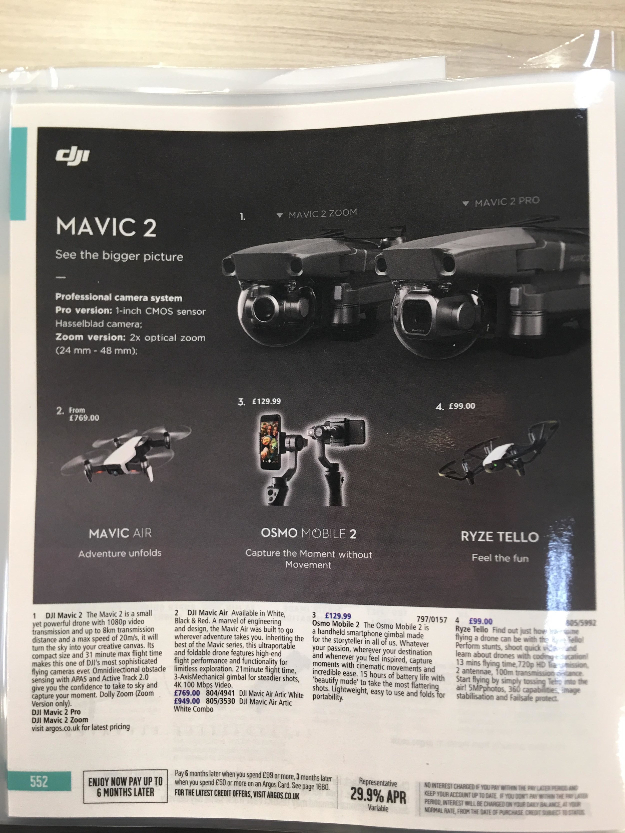
DJI has yet to announce, but Mavic 2 will reportedly have 360-degree collision detection and sport DJI’s Advanced Pilot Assistance Systems and Active Track 2.0 to assist in flying the drone. The battery life is clocked at 31 minutes.

The DJI Mavic 2 Pro comes equipped with a 1-inch CMOS Hasselblad camera where the Zoom model has a 2x zoom lens.

This is something to watch!

Propellerless Drone Design

drones.jpg

This drone flies using four air blowers, instead of exposed rotor blades like most drones.

The impeller system sucks air in through the vents on the side of the drone and then accelerates it through a circular duct, creating an upward thrust as the air is pushed out through the bottom.

For now, the motor efficiency does not compare well with a standard drone, but Kung hopes that can be improved with more development.

Learn More

Elevate Your Listing With These Six Best Practices for Drone Video and Photography

Any real estate professional knows that “curb appeal” and “location, location, location” have long been twin pillars of selling a property. Today’s technologies, combined with the expectations of a new generation of buyers, are raising the bar on how to present a listing in the best possible light.

Savvy real estate professionals are not just focusing on a home’s interior — they’re also raising their eyes to the sky. Dronography is the listing agent's new essential tool for marketing any property consumers would want to rent (apartments), lease (vacation homes) or buy (residential or commercial properties).

Now, there’s little barrier to entry for real estate professionals raising the bar on listing videos or photography.

A uas , or Drone, photographer offer a highly cost-effective way to elevate your marketing efforts. Aerial video and photography capture stunning, views of a property and also convey a lifestyle.

Here are 6 Things You Can Do to Make them the Best:

1. Get acquainted with the roof and gutters.

Most of us pay no attention to them until problems occur. Sellers should know beforehand that the roof is in great shape and the gutters are free of leaves and debris. Buyers will be deterred if your drone video reveals missing shingles or saplings growing in the gutter.

2. Clear the clutter.

Just as you’d declutter a home’s interior, clear the exterior of kids’ toys, bicycles, hoses or trash bins. The rule about clutter applies whether inside or out: A property appears more spacious when it’s clutter-free.

3. Avoid outdoor maintenance work on the day of the drone appointment.

Get the landscaping and the pool cleaning done ahead of time and be sure all equipment is out of sight. And be sure your drone appointment doesn’t coincide with trash pick-up day.

4. Alert the neighbors in advance.

Drones have an unmistakable hum, and they are not that common in most neighborhoods. Sellers should avoid unwanted surprises by telling the neighbors the day and time the dronographer is due to arrive. The entire video shoot should take less than 30 minutes, so emphasize to clients and their neighbors that it’s a short process.
5. Notify parents of young children, too.

If the neighborhood kids regularly play outside, Mom and Dad may be more comfortable if they have the option to keep them inside or take them out for a ride.

6. Cloudy days are fine days for capturing aerial images and video.

Since a cloudy sky eliminates the harsh shadows projected on a landscape. Still, many sellers want sunshine in their drone videos and photography. Any customer-focused photography company should have the flexibility to happily reschedule the drone appointment when requested.

With these best practices in mind, you can elevate each and every property listing with dronography.

Winners of ‘Drone Awards 2018’

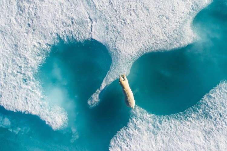
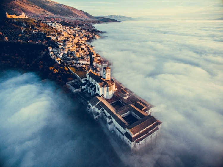
The inaugural Drone Awards attracted the attention of photographers from 101 different countries. And with over 4,400 submissions. The grand prize winner wascFrench photographer Florian Ledoux who took home the title of Photographer of the Year for his award-winning photo of a polar bear swimming through the freezing waters of northern Canada.

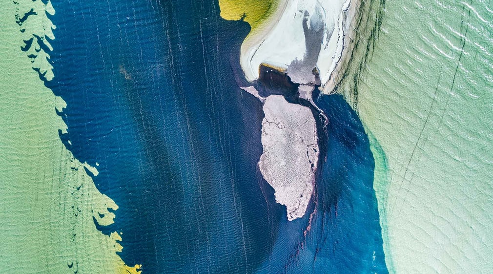
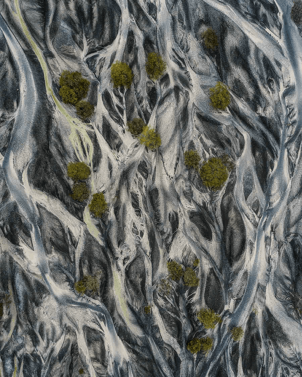
The winners of the first annual Drone Awards demonstrate the artistry of drone photography.

5 Ways We Can Help Farmers this Spring

Throughout the whole growing season, drone images can be a good tool for farmers to make their work more effective. Already in spring, drones can be used in the field to help answer important questions: How was the establishment of winter crops and how has the winter affected the crops? Where do I need to reduce or increase the seed rate next time? Should I change the time of fertilization? Where do I have weed problems?


Drone image showing variations in establishment

Evaluate Crop Establishment

Before winter wheat begins to grow and enter stroke phase, a map based on drone imagery can help evaluate how even the crop is within the field. It can show parts of the field with thinner and denser crop and can serve as a good guide where to look at during the field walks in order to establish the reason for variations.


Variable Rate Fertilizer Application

Drone imagery collected early in the spring can help determine if there are thinner parts of the field that would benefit from early nitrogen application to facilitate the development of roots and side shoots, especially for late sown and slightly sparse stocks.

 
Drone imagery shows variations in crop establishment

Drone imagery shows variations in crop establishment

Variable Rate Seeding

In case drone images capture the variation in crop establishment and/or soil differences, this can be in future used as a basis for variable rate seeding.

NDVI-index from drone imagery shows variations in crop establishment Areas of poor establishment, often on stiffer soil, should be sown considerably thicker than lighter soils, where you may instead get too dense and vigorous crops which may result in crop lodging. Areas with more clayey soil have also generally higher crop potential than areas with coarser soil texture.


Drone image shows weed spread in the field

Weed Control

Drone image shows weed spread in the field With a high definition RGB camera on a drone, it is relatively easy to map weed spread. This information can then be used during the field walks. In parts where the drone images show that the weed spread is low, you may not need to make any treatment at all. It is also possible to create a variable rate application file and thus reduce the use of herbicides, benefiting both the environment and economy.


Inspect Drainage

When the soil dries up in the spring, the drainage system can sometimes be clearly seen, as the soil above the drainage pipes dries up first. Drone images collected on one of these days can be used to make new drainage maps and evaluate how the drainage system works. If the soil type is similar across the field, then the drying should also be fairly even. If the drone maps show areas that dry significantly slower, it may be a sign that something is wrong with drainage system and further investigation may be performed.


Drone images collected at the right point in time can help decide correct nitrogen rate or vary seed rate during sowing and thus achieve more even crops with higher yield potential. We can makes it easy to turn drone images into valuable insights and prescription files that can be directly used in the field.

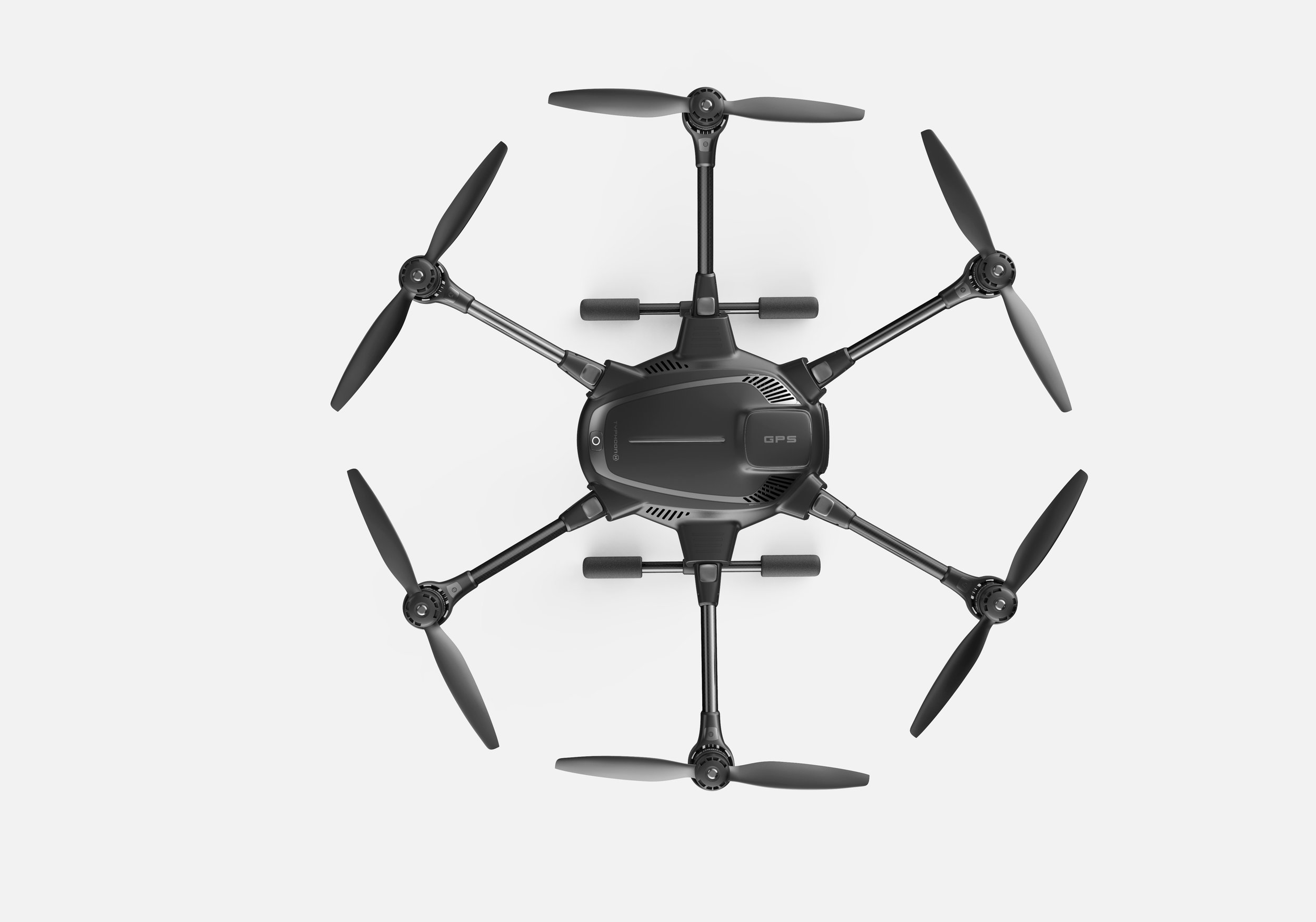
Yuneec's new Typhoon H drone is the biggest challenge yet to DJI

Our favorite consumer drone has consistently been produced by one company, DJI. So far no one has produced a unit that delivers the same quality, consistency, and ease of use, but...

Yuneec unveiled a new unit, the Typhoon H, the promises to deliver a high-end, Hollywood-caliber drone, but at just two-thirds of the price of DJI's Inspire 1.

The Typhoon H, like the Inspire 1, has retractable landing gear and a camera which can pan a full 360 degrees. Unlike the Inspire and the previous version of the Typhoon, the new unit has six rotors instead of four. Yuneec says this will allow the craft to remain stable and land in the event it loses one or two motors. DJI also has a six-rotor craft aimed at Hollywood professionals, the S900, which sells for $3,400 when fully equipped with a HD camera. The Typhoon H is expected to retail for $1,799, while the Inspire 1 goes for $2,600.

The new Typhoon H is also promising the full suite of autonomous features, something which has become table stakes for drones these days. It has Orbit, Point of Interest, Curved Cable, and something called Journey. It has basic sense and avoid technology on board, using "ultrasonic proximity detection" to automatically dodge large obstacles. In theory it should also give the aircraft more lift, allowing for heavier and more sophisticated camera equipment.

Read More

Typhoon H